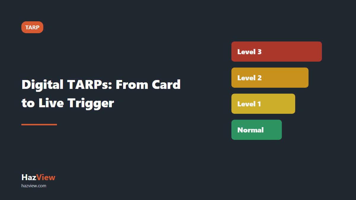
A digital TARP is a trigger action response plan whose current level lives in a shared system instead of on a laminated card, so that the level of every wall, dump or road is visible on the mine map, is set by the inspection that observed the trigger, and carries a history of who changed it and why. The plan itself does not change. What changes is that everyone can see where the site actually sits on it right now.
This guide covers how TARP levels and triggers work, what the regulators say, why cards and spreadsheets break down, and what a working digital TARP looks like.
What a TARP is, and what it is for
A trigger action response plan sets out, in advance, what counts as abnormal for a hazard and what people must do when they see it. It has three parts: the triggers (observable conditions or measured values), the levels those triggers map to, and the actions and responsible people attached to each level.
The point of writing it in advance is to take judgement out of the worst moment. The person looking at a new tension crack at 3am should not be deciding whether it justifies stopping the dig. The TARP already decided that, in daylight, with the geotechnical engineer and the risk assessment. The person in the field only matches what they see to a level.
How TARP levels usually work
Most TARPs in mining use three or four levels, often colour coded. The labels vary by site, but the shape is consistent:
- Normal (Level 1 or green). Conditions as designed. Routine inspection and monitoring frequency.
- Level 2 (amber). An early warning. Increased inspection or monitoring frequency, notification of the supervisor and geotechnical engineer, sometimes restricted access.
- Level 3 (orange or red). A developing problem. Restricted access or exclusion of the area, engineering assessment before work resumes, notification further up the line.
- Level 4 (red or black). Failure imminent or occurring. Full exclusion, evacuation of the area and emergency response.
A geotechnical TARP for a highwall or spoil dump typically uses triggers such as tension cracks at the crest, bulging or seepage at the toe, rockfall from the face, rainfall above a set amount, and radar or prism movement rates above site thresholds. Road TARPs use triggers such as visibility, wet roads or dust, and the TARP for mine roads and vehicle interaction walks through one in detail.
What the regulators say about TARPs
Neither the Queensland Coal Mining Safety and Health Regulation 2017 nor the NSW Work Health and Safety (Mines and Petroleum Sites) Regulation 2022 prescribes a TARP format or a number of levels. In practice TARPs sit inside the principal hazard management plan, and regulators look at them as part of it.
New South Wales
The NSW Resources Regulator’s guide to preparing a principal hazard management plan under the Work Health and Safety (Mines and Petroleum Sites) Regulation 2022 describes a TARP as an integral part of a PHMP that guides the actions workers take when site conditions are no longer considered normal. It says a TARP should follow a risk assessment that has verified the choice of controls, and should set actions at specified levels of risk, be simple and robust enough for workers to act on immediately, and consider the workers and equipment those actions need.
The regulator’s own inspection findings show where it goes wrong. In its consolidated report on ground or strata failure in underground coal mines (December 2020), the most frequent concern raised in notices was that documentation for ground or strata failure controls, including PHMPs and TARPs, was not relevant, current or readily available. That report covers underground coal, but a TARP nobody can find is a document control problem that surface operations share.
Queensland
Section 102A of the Coal Mining Safety and Health Regulation 2017 requires a surface mine to have principal hazard management plans providing for at least roads or other vehicle operating areas, ground or strata failure, airborne dust or other airborne contaminants, and fire or explosion. TARPs are one of the usual ways those plans turn monitoring into action.
Sections 106 and 107 require the open cut examiner to inspect the surface excavation to decide whether the level of risk is acceptable. Where an unsafe thing causes an unacceptable level of risk, the examiner must make it safe immediately if practicable. If not, the examiner must notify the people who may be exposed and, until it is safe, erect a barrier, stop coal mining operations and withdraw everyone from that part of the mine. A good TARP defines, ahead of time, which observations amount to that unacceptable risk. Section 171(5), written for underground evacuation, captures the idea well: a trigger point is an indicator that the level of risk for a particular hazard is unacceptable.
For highwalls, RSHQ’s safety bulletin on highwall failures recommends that the safety and health management system provide for slope stability radar (or similar) as a continuous control for ground movement, which could include TARPs and alarm movement thresholds based on back analysis of the mine’s own ground conditions. The full inspection side of that is covered in the highwall inspection checklist.
Why laminated cards and spreadsheets fail
A laminated card is good at one thing: reminding people what the levels mean. It fails at the rest, in three recurring ways.
No current state
A card tells you what Level 3 means. It does not tell you that the east wall has been at Level 3 since Tuesday night shift. That fact lives in someone’s head, a radio call or a whiteboard, and the day shift operator learns it only if the handover worked.
No location
A TARP level applies to a place: a wall domain, a dump lift, a section of haul road. A spreadsheet row reading “west wall, Level 2” relies on everyone agreeing where the west wall starts and stops, and exclusion zones on a printed plan go out of date the moment the dig moves.
No history
When a wall goes to Level 3, the questions are what was seen, by whom, when, and what happened next. When it comes back down: who assessed it, on what basis, and was the exclusion lifted in the field? A card holds none of that, and a spreadsheet overwrites it. When an investigation asks for the sequence, the site rebuilds it from emails and memory.
A fourth gap: the TARP and the inspection form are usually separate documents. The inspector ticks “tension cracks: yes”, then separately decides the level, then separately tells someone. Every handoff is a place for the trigger to be lost. This is the same weakness described in why general checklists create a false sense of safety: a completed form that records an observation without forcing the response.
What a digital TARP looks like
A digital TARP is not a PDF of the card on a tablet. It connects the level, the place and the record.
TARP levels on hazards, on the map
Each wall domain, dump or road section under a TARP is held as a hazard on the site map, with its current TARP level and area state (open, restricted or closed) as properties of that hazard. Anyone who opens the map sees the east wall at Level 3 and restricted, drawn where it actually is. The level is no longer a fact someone has to remember to pass on.
TARP levels in the inspection answers
The inspection checklist carries the TARP descriptors as its answer options. Instead of “tension cracks: yes or no”, the inspector chooses between “none”, “hairline, not continuous” and “open and continuous along the crest”, and each option is already mapped to a level. The TARP outcome is derived from what was observed, not assigned afterwards. A non-conforming answer can open an escalation section that asks for the actions the TARP requires at that level: who was notified, whether the barrier is in place, whether people were withdrawn. The spoil dump inspection checklist shows this structure with Normal to Level 3 descriptors for every check.
Escalation visible to every role
The geotechnical engineer, OCE, supervisor, operator and manager all look at the same map, so a level change reaches everyone at once. The hazard’s history shows every change, the inspection that caused it and the photos taken, which is the sequence an investigation will ask for.
Controls that follow the level
Each TARP level implies controls, such as an exclusion zone or an assessment before re-entry, and each needs an owner, a due date and a status. The critical control verification checklist covers how to check that the controls a TARP relies on are actually in place.
Designing a TARP that survives digitisation
Software does not sharpen a vague TARP. Check it holds up first.
- Triggers must be observable. “Signs of instability” is not a trigger. “Continuous crack along the crest longer than the bench width” is. If two inspectors could pick different levels for the same thing, rewrite it.
- Numeric thresholds belong to the geotechnical engineer. Rainfall totals, movement rates and crack widths should come from site data and back analysis, not from a template.
- Each level needs named actions and named roles. “Notify supervisor” is better than “notify”, and “OCE to confirm barricade in place before end of shift” is better again.
- Define the way down, not just the way up. Who can reduce a level, on what evidence, and what has to be checked in the field before an exclusion is lifted.
- Tie it to the PHMP. Every TARP should point back to the principal hazard it manages.
Where digital TARPs go wrong
- The system and the field disagree. The map says Level 2, the signage at the ramp says Level 3. Crews then stop trusting both, so the field check must confirm the physical controls match the recorded level.
- Levels change with no evidence. A level reduced without an inspection or an engineering note attached is as weak as a whiteboard. Require the reason at the point of change.
- Only the engineer can see it. If the TARP state lives in a geotechnical tool that operators and supervisors never open, it has recreated the problem of the laminated card with better graphics.
- No reception at the face. If the inspection cannot be completed where the crack is, it gets completed later from memory. The tool must work offline.
How a live TARP gets managed day to day
The recurring problem on site is not the TARP document. It is that the level, the inspection that set it, the radar that is watching the wall and the exclusion zone that follows from it all live in different places, so the person deciding whether to send a crew under a wall assembles the picture from memory and radio calls.
HazView puts that picture on one map that every role uses. A wall or dump is a hazard with a geotechnical TARP rating and an area state, drawn over survey and drone imagery, with slope monitoring radar shown alongside. The inspection is attached to the hazard, and because the TARP levels are carried in the answer options, the level comes out of what the inspector recorded. Conditional logic opens the escalation section when a trigger is met, and the checklist works fully offline at the face, syncing when back in reception. The result is a TARP with a current state, a location and a history. See how it works for geotechnical engineers using HazView, or book a demo and bring one of your own TARPs.
Card, spreadsheet and digital TARP compared
| Question | Laminated card | Spreadsheet | Digital TARP |
|---|---|---|---|
| What do the levels mean? | Yes, in the pocket | Yes, if you can find the file | Yes, inside the inspection itself |
| What level is this wall at now? | No | Only if someone updated it | Yes, on the map |
| Where exactly does the level apply? | No | A text description | Drawn on the site map |
| What was observed to trigger it? | No | Rarely | The inspection answers and photos |
| Who changed it and when? | No | Overwritten | Full hazard history |
| Can the operator see it? | If told | Rarely | Yes, same map as the engineer |
| Works without reception? | Yes | No | Yes, if the app works offline |
For how TARP driven inspections fit into the wider statutory inspection regime, see the complete guide to mine site inspections in Australia.
Related guides
- Mine Site Inspections in Australia: What the Law Requires, What to Check and What a Defensible Record Looks Like
- Tyre and Rim Inspection Checklist for Mining Equipment
- Shotfirer Pre-Blast Area Inspection Checklist
- Haul Truck Pre-start Checklist for Australian Mine Sites
- All Inspections & Checklists guides
Frequently asked questions
What does TARP stand for in mining?
Trigger action response plan: the triggers showing a hazard has moved from normal, the levels they map to, and the actions and people at each level. In NSW the Resources Regulator describes it as an integral part of a principal hazard management plan.
Is a TARP a legal requirement?
Neither the Queensland coal regulation nor the NSW mines regulation prescribes a TARP format. Both require principal hazard management plans, and regulators expect those plans to say what happens when conditions change. TARPs are the common way sites meet that expectation, and regulators assess them as part of the PHMP.
How many TARP levels should there be?
Most sites use three or four, from normal through to exclusion or evacuation. The right number is the smallest that gives each level a clearly different set of actions.
Who sets the triggers in a geotechnical TARP?
The geotechnical engineer, working from site data, monitoring history and the risk assessment, with input from the people who apply it. Never copy numeric thresholds from another site or a template.
Can TARP inspections be done without reception?
They should be, because triggers are usually seen where coverage is poorest. HazView checklists can be completed fully offline and sync once back in reception.