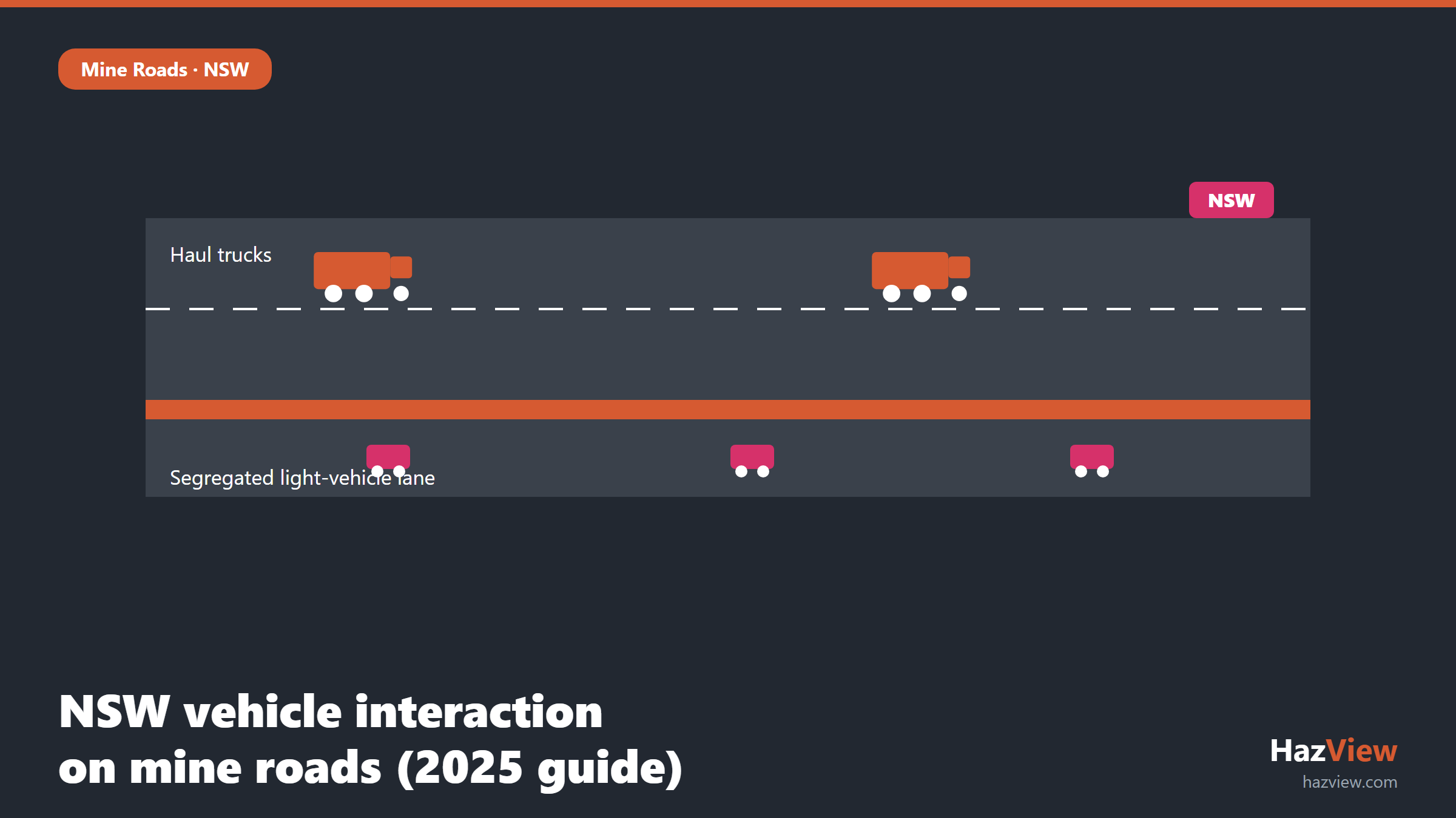
The NSW mining vehicle interaction guideline is the 2025 Technical Reference Guide from the NSW Resources Regulator, titled “Roads or other vehicle operating areas: principal hazard management plan for surface mining operations”. It sets out the regulator’s expectations for how surface mines control the risk of vehicles colliding with other vehicles, plant and people. The guide promotes a layered defence built from multiple independent controls, so that a single failure, whether a design flaw, a lapse in communication or a fatigued operator, does not lead to a collision. This article explains what the guide covers, how it links to your principal hazard management plan, and how it compares to Queensland’s Recognised Standard 19.
Why NSW published the guide
Vehicle interaction remains one of the most persistent causes of serious harm on surface mines. Haul trucks with large blind spots, light vehicles sharing the same roads, mobile plant, and people on foot all operate in the same working areas, often around the clock and in poor visibility. When a heavy vehicle and a light vehicle come together, the outcome is rarely minor.
The Technical Reference Guide was developed with input from an advisory committee formed to look specifically at adverse vehicle interactions. It draws together the regulator’s expectations in one place and reflects lessons from incidents, investigations and industry practice. It sits alongside the broader duties in the Work Health and Safety (Mines and Petroleum Sites) Regulation 2022 and the parent Act of 2013, which require operators of mines with relevant hazards to prepare and maintain principal hazard management plans. You can read the full document on the regulator’s website as the NSW Technical Reference Guide (TRG ROVOA).
What “roads or other vehicle operating areas” covers
The phrase “roads or other vehicle operating areas” is deliberately broad. It is not limited to formed haul roads. It captures the full range of places on a surface operation where vehicles move and where an interaction could occur, including:
- Main haul roads and ramps carrying heavy production traffic
- Intersections, junctions and merge points where traffic paths cross
- Light-vehicle access roads and shared roads
- Dumps, tips and stockpile areas where trucks reverse and manoeuvre
- Loading areas around excavators, shovels and loaders
- Workshops, go-lines, parking and refuelling areas
- Pit floors, benches and other working faces where mobile plant operates
- Car parks and pedestrian routes adjacent to operating areas
Treating all of these as part of one connected system matters. A control that works on the main haul road but breaks down at a poorly sighted intersection still leaves the operation exposed. The guide encourages operators to think about the whole road network and every point where light and heavy vehicles, plant and people can meet.
The layered defence approach
The central idea in the guide is layered defence. No single control is treated as sufficient on its own. Instead, operators are expected to combine several independent layers so that if one fails, others remain to prevent a collision. This is the same reasoning behind the wider practice of managing vehicle interaction as a principal hazard: reduce reliance on any one measure, and never let the last line of defence be an operator noticing a truck at the last moment.
The layers the guide points to include:
- Road and intersection design: adequate width, sight distance, grade, drainage, windrows and sound geometry at junctions, so the road itself reduces the chance of an interaction. See our note on mine road intersection design for the design detail.
- Segregation of light and heavy vehicles: physical separation, dedicated lanes, separate access routes and timing that keeps light vehicles away from heavy plant wherever practicable.
- Traffic management: traffic management plans, rules of the road, priority and give-way arrangements, parking and go-line procedures.
- Positive communications: radio call-up procedures, positive contact before approaching heavy vehicles, and clear protocols at intersections and loading areas.
- Speed and fatigue management: enforced speed limits appropriate to the road and conditions, plus fatigue controls that reduce the human errors behind many interactions.
- Proximity detection and collision avoidance: engineered systems that warn operators, and increasingly intervene, when vehicles come too close.
- Trigger Action Response Plans (TARPs): defined triggers, actions and responses so that changing conditions, such as reduced visibility or a failed control, prompt a planned response rather than an improvised one.
The point is not to install every possible control everywhere. It is to select a combination that is genuinely independent and matched to the risk at each part of the network, then to show that the combination holds up when one layer is degraded.
Key expectations for NSW operators
Reading across the guide, several practical expectations stand out for surface operators in New South Wales:
- Understand the whole road network and identify every location where an adverse vehicle interaction could occur, not just the obvious haul roads.
- Assess the risk at each of those locations and select controls that reflect the actual conditions there.
- Build layered defence rather than leaning on a single control such as speed limits or operator vigilance.
- Make sure controls are independent, so a common cause cannot defeat several of them at once.
- Define who is responsible for each control and how its ongoing effectiveness is verified.
- Keep records and evidence that show the controls are in place, monitored and working.
- Review controls after changes to the operation, after incidents and at planned intervals.
None of this is new duty in isolation. What the guide does is set a clearer benchmark for how thoroughly the regulator expects these steps to be done and documented for roads and vehicle operating areas specifically.
How it links to the principal hazard management plan
The guide is not a standalone compliance document. Its title makes the connection explicit: it is about the principal hazard management plan for roads or other vehicle operating areas. Under the Regulation, where vehicle interaction is a principal hazard at a mine, the operator must have a PHMP that identifies the hazard, assesses the risk and sets out the control measures, along with how those controls are implemented, maintained and reviewed.
In practice, the Technical Reference Guide tells you what a strong vehicle interaction PHMP looks like. The layered defence controls become the substance of the plan. The expectations around independence, responsibility and verification become the parts of the plan that show the controls are real and maintained, not just written down once and filed away. When an inspector reviews your PHMP, the guide is a fair indication of what they will be looking for.
This is where mapping the network visually earns its place. HazView lets you map haul roads, intersections and light-vehicle routes against your controls, record where segregation and traffic controls apply, and hold the inspection and monitoring evidence that supports a PHMP in one place. Instead of a static document, the plan becomes something you can point to on a live site map. The hazard management tools tie each control back to a location and a responsible person, which is exactly the traceability the guide encourages.
How the NSW guide compares to Queensland RS19
Operators who work across the border, or who benchmark against Queensland practice, often ask how this guide sits against Recognised Standard 19. The short answer is that they share intent but are not the same instrument. RS19 is Queensland’s recognised standard for the design, construction and maintenance of mine roads. The NSW Technical Reference Guide is guidance under a different legislative framework and has a broader framing around vehicle operating areas and the PHMP.
| Feature | NSW Technical Reference Guide (2025) | Queensland RS19 |
|---|---|---|
| Jurisdiction | New South Wales | Queensland |
| Legal framework | WHS (Mines and Petroleum Sites) Act 2013 and Regulation 2022 | Coal Mining Safety and Health, and Mining and Quarrying legislation |
| Legal status | Guidance (a technical reference guide, not black-letter law) | Recognised standard |
| Core focus | Roads and other vehicle operating areas, framed around the PHMP | Design, construction and maintenance of mine roads |
| Central concept | Layered defence across independent controls | Road standards and vehicle interaction management |
The practical takeaway: do not treat the NSW guide as a copy of RS19, and do not assume compliance with one satisfies the other. If you operate in New South Wales, the Technical Reference Guide reflects what your regulator expects. If you operate in both states, expect the underlying principles, such as sound road design and genuine segregation, to align, while the specific documents and legal status differ.
What NSW operators should do now
The guide is guidance, not a new set of offences, but ignoring it is a poor position to be in if an interaction occurs. A sensible response is to test your current arrangements against it:
- Read the Technical Reference Guide in full and note where your practice already aligns and where it does not.
- Map your road network and every vehicle operating area, then mark the controls that apply at each point.
- Check that you have layered defence, not a single control carrying the load, and that the layers are truly independent.
- Confirm your PHMP for vehicle interaction reflects the controls actually in place on the ground.
- Make sure control owners, verification steps and review triggers are defined and recorded.
- Use your Open Cut Examiner inspections to keep the evidence current, which the HazView for OCEs workflow is built to support.
Done well, this is not a paperwork exercise. It is a clearer, defensible line between the hazard on your roads and the controls you rely on to manage it, backed by evidence you can produce on request. For the latest wording and any updates, keep an eye on the NSW Resources Regulator.
Related guides
- WA’s Road and Traffic Management Code for Mines: What It Requires
- Mine Road Intersection Design: RS19 Rules for Safer Haul Road Junctions
- Mine Road Safety Berms: RS19 Height and Placement Requirements
- All Mine Roads & RS19 guides
Frequently Asked Questions
What is the NSW roads and vehicle operating areas guide?
It is the 2025 Technical Reference Guide from the NSW Resources Regulator, titled “Roads or other vehicle operating areas: principal hazard management plan for surface mining operations”. It sets out the regulator’s expectations for managing vehicle interaction on surface mines and links those expectations to the principal hazard management plan.
Is it mandatory?
The guide itself is guidance, not black-letter law, so it does not create offences on its own. The underlying duty to manage principal hazards and maintain a PHMP comes from the WHS (Mines and Petroleum Sites) Act 2013 and Regulation 2022, which are mandatory. The guide reflects how the regulator expects those duties to be met, so operators are wise to treat it seriously.
How does it differ from RS19?
RS19 is a Queensland recognised standard focused on the design, construction and maintenance of mine roads. The NSW guide is guidance under the New South Wales WHS mines framework, with a broader focus on all vehicle operating areas and a strong emphasis on the PHMP and layered defence. They share principles but are separate documents with different legal status, so compliance with one does not equal compliance with the other.
What is layered defence?
Layered defence means using several independent controls together, such as road design, segregation, traffic management, positive communications, speed and fatigue management, proximity detection and TARPs, so that if one control fails the others still prevent a collision. It avoids relying on any single control, especially operator vigilance, as the last line of defence.
See your road controls on one map
HazView helps NSW surface operators map roads and vehicle operating areas, record segregation and controls, and hold the PHMP evidence an inspector will ask for, all against a live site map. Book a demo to see how HazView supports your vehicle interaction principal hazard management plan.